| SETTING / VALUES | EXPLANATION | |
| | |
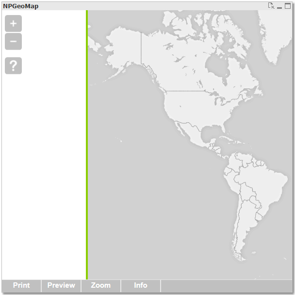
| wrapDateLine true map will be wrapped (default) false map won't be wrapped | "Wraps" the background map (like GoogleMaps or BingMaps) along the date line - that means the map will be repeated east- and westwards so the map can be panned endlessly. Even without a background map, every layer (with Markers, Lines or Polygons on it) will be repeated too, but the items are shown only once at a time, depending on which map/"site" the bigger part of each item is positioned. This feature is very helpful for orientation, when you work in a area near the date line. For example to switch from Canada to Japan you only have to pan slightly to the left instead of "crossing" whole Europe until you get to the "other end" on the right. Google Maps has the special feature to wrap the map, even if wrapDateLine is false. However the extensions aren't dynamic and no item (Marker, Polygon,...) would be repeated. Moreover the map can only be panned sidewards to a certain extent. | The green line in the screenshots below symbolizes the date line. wrapDateLine = true Asia and Australia are repeated on the left. 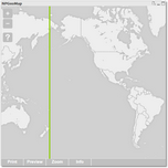 wrapDateLine = false Beyond the map only the white background is shown. wrapDateLine = false Beyond the map only the white background is shown. 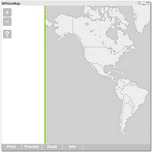 |
| opacity number background map opacity in percent (default is 50) | Set opacity of background map layer (tile maps) in percent: 0% - colors/images are covering 100% - completely transparent Opacity of background itself is set inside APPEARANCE SETTINGS. | |
| greymode true feature enabled false feature disabled (default) | Converts Background Map Layer into shades of gray. (Here Maps have this mode integrated.) | |
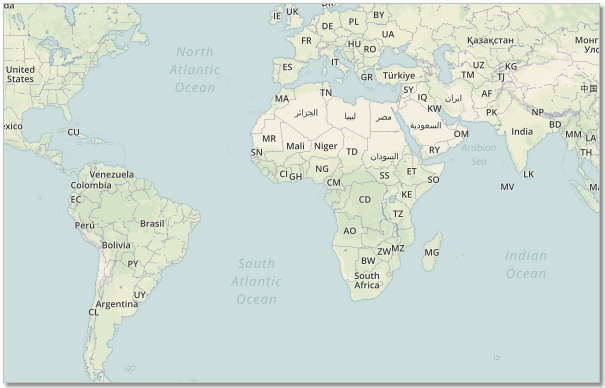
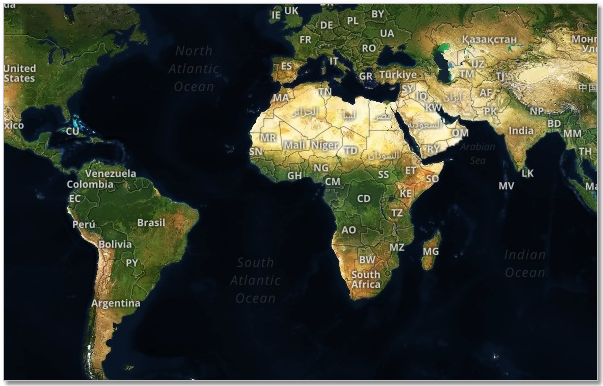
| mapLanguage text | Language for background map labels: Arabic, German, English, Spanish, French, Hindi, Italian, Japanese, Polish, Portuguese, Russian, Turkish, Chinese, ChineseTraditional, Czech, Finnish, Greek; default = Browser language | |
| searchLanguage text | Language used for search results: Arabic, German, English, Spanish, French, Hindi, Italian, Japanese, Polish, Portuguese, Russian, Turkish, Chinese, ChineseTraditional, Czech, Finnish, Greek; default = Browser language | |
| searchProvider text | Select one of the available search provider: nominatim, google, here, tomtom or bing | |
| | |
| WMS | Set and configure WMS server. | |
| active | true/false - activate or deactivate the layer | |
| url | the wms server url i.e.: https://tigerweb.geo.census.gov/arcgis/services/TIGERweb/tigerWMS_Current/MapServer/WmsServer | |
| params.LAYERS | One or more Layer Names as described in the capabilities i.e: "States" | |
| caption | Layer caption | |
| order | order number of the layer - higher numbers are above lower numbers | |
| opacity | Layer opacity | |
| | |
| TileServer | | |
| url path/link tile location | set and configure your own tile server Do not use the Dollar sign in the url! | |
| | |
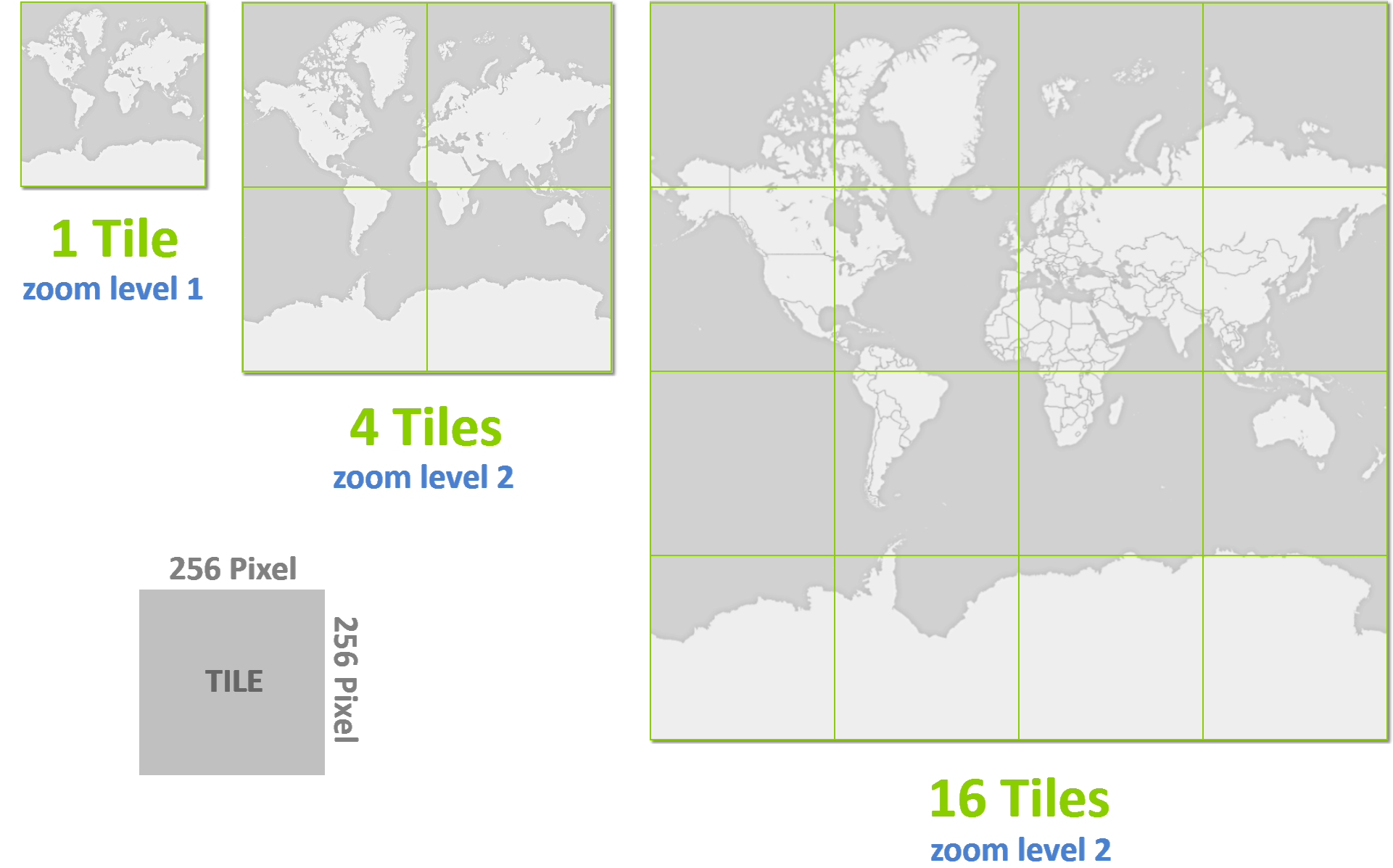
| GoogleMaps, Here, BingMaps, MapBox | The part "variables" in the screenshot is a standard declaration for tile server images ({z} stands for the zoom level folder, {x} for the folder with the x-axis values and {y} for the y-axis files). Please note, that the tiles have to be saved as .jpg files. Example: {"local": true, "url": "MyTileFolder\${z}\${x}\${y}.jpg"} Attention with the backslash: URL paths go with a regular slash / local paths are separated with a backslash ** . url - tile server In case of using a tile server just replace the whole part between the quotation marks ("tiles${z}${x}${y}.jpg") with your tile server URL. Usually the tile server providers supply several URLs - you can list them all here (including the part with the feature local) separated with a comma. Example using one URL: {"local": false, "url": "http://a.tile.opencyclemap.org/cycle/${z}/${x}/${y}.png"} Example using mulitple URLs: {"local": false, "url": "http://otile1.mqcdn.com/tiles/1.0.0/map/${z}/${x}/${y}.png"}, {"local": false, "url": "http://otile2.mqcdn.com/tiles/1.0.0/map/${z}/${x}/${y}.png"}, {"local": false, "url": "http://otile3.mqcdn.com/tiles/1.0.0/map/${z}/${x}/${y}.png"} | 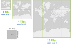 |
| GoogleMaps | Tile Server Provider of GoogleMaps is Google. | |
| api version used API version of GoogleMaps | Allows to use a specific API version of GoogleMaps. | |
| freepublicaccessibility | Due to a change of the Google Maps APIs on 22nd of June 2016 (see official Google announcement), this feature is no longer supported. | |
| key your GoogleMaps Key Your GoogleMaps key. set custom default value | GoogleMaps can only be used with a valid API key. See the official Google Maps API key setup guide. | |
| client your GoogleMaps Client ID | Further information about GoogelMaps Client ID: https://developers.google.com/maps/ | |
| BingMaps | Tile server provider of BingMaps is Microsoft. | |
| key your BingMaps Key see further details on the right set custom default value | For detailed information about accessibility and the terms of use for BingMaps key please go to: http://www.microsoft.com/maps/create-a-bing-maps-key.aspx This Backgroundmap can't be displayed in NPGeoMap without a valid key. | |
| MapBox | MapBox is a platform that offers to create and design individual maps, such as defining own colors for streets or terrain. For detailed information about accessibility, creating own maps and the terms of use for MapBox go to mapbox.com | |
| accesstoken your Mapbox access token see further details on the right set custom default value | In order to use Mapbox you need to set a valid access token. See the official Mapbox access token guide. | |
| mapid your MapBox ID see further details on the right set custom default value | You can use predefined maps from Mapbox like: mapbox.light, mapbox.dark and more: mapbox.com/api-documentation/#maps |   |
| styleurl your style URL see further details on the right | Set here custom created styles, and use the format: mapbox://styles/xxx/aasddad8004asdhzggaad4 | |
| Here | The Tile Server Provider HERE (former Nokia) supports many map features - see below - and provides the usage of Isochrones in NPGeoMap. | |
| Since NPGeoMap Version 3.1.65: apikey your HERE API key see further details on the right set custom default value Previous settings: appcode your HERE code see further details on the right set custom default value appid your HERE ID see further details on the right set custom default value. | For detailed information about accessibility, terms of use and further features for HERE please go to: developer.here.com/documentation/ This Backgroundmap can't be displayed in NPGeoMap without a valid API key. | |
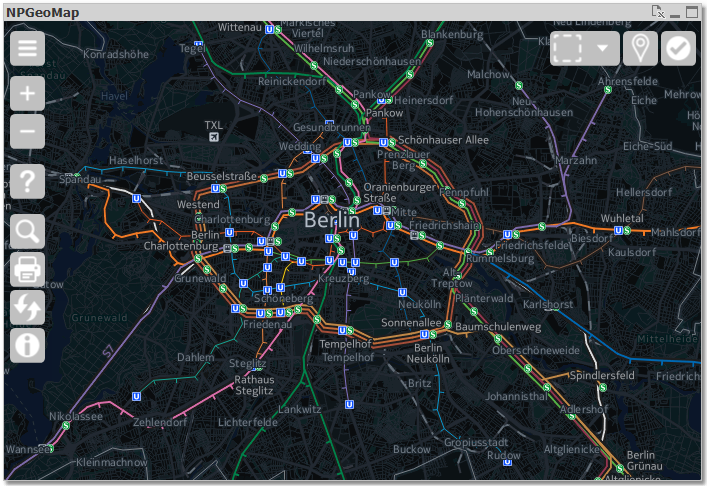
| pointsofinterest publictransport truckrestrictions nightmode greymode true feature enabled false feature disabled | These features affect the appearance of the HERE Backgroundmap dislpayed in NPGeoMap. pointsofinterest displays points of interest on the map, like hospitals, parks, museums, Restaurants,... publictransport displays routes and stations of public transport (screenshot) truckrestrictions shows possible restrictions for trucks on the road nightmode appearance in dark colors (screenshot) greymode appearance in shades of gray | 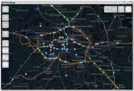 |
| TomTom | | |
| key text style parameter | "key": TomTom API Key valid for requested service "style": "main" or "night" | |
| Nominatim | | |
| url | Url to the Nominatim search engine Server | |
| | |
| LocalTiles | In this section you can configure local or external tile server or embed local tiles. | |
| urls | | |
| path directory path tile location | path of your local tiles inside NPGeoMap directory "...QlikView\Extensions\Objects\NPGeoMap_v3\NPGeoMap_v3_Basic\tiles" | |
| zoomlevels number | maximum loaded zoom level (when zooming further in last loaded tiles are just scaled) | |
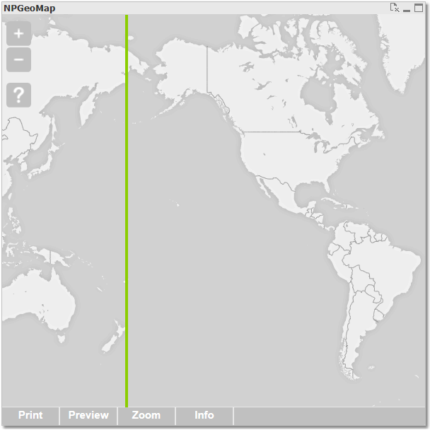 wrapDateLine = false Beyond the map only the white background is shown.